GIS image using Quantum GIS (QGIS) is as one alternative to usingopen source GIS software, in addition to GIS image using ArcGISExplorer (free download of the latest ESRI GIS Viewer is here).Previously also shown how to use the Global Mapper GIS containedin the e-book "Making GIS Image Results Download from Google Maps", as well as rectification of the image / image using ArcGISDesktop here.
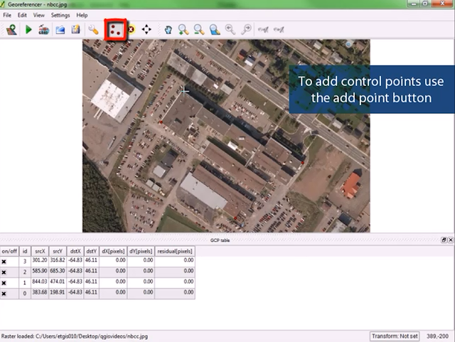
GIS in QGIS can be done using plugins Georeferencer. This pluginis the default when you install the Quantum GIS, which can be activated from the menu Plugins -> Select Georeferencer (QGIS1.6.0 Capiapo).
How it works Georeferencer in QGIS is almost the same as the way of doing GIS in Global Mapper. Users determine the reference point(GCP), and then perform the desired entry of coordinate values.Georeferencer it is also possible to take a pre-existing GCP format*. points. This type of format is the file extension *. points if you save the GCP in Georeferencer
.
If you follow the steps contained in the e-book "Making GIS ImageResults Download from Google Maps", then you are definitely nothard to do the same in this Georeferencer in Quantum GIS.
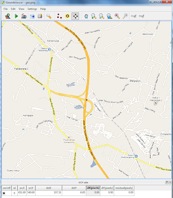
You also can follow the stages of georeferencing and vectorizationin Quantum GIS on the video below:
GIS in QGIS can be done using plugins Georeferencer. This pluginis the default when you install the Quantum GIS, which can be activated from the menu Plugins -> Select Georeferencer (QGIS1.6.0 Capiapo).
How it works Georeferencer in QGIS is almost the same as the way of doing GIS in Global Mapper. Users determine the reference point(GCP), and then perform the desired entry of coordinate values.Georeferencer it is also possible to take a pre-existing GCP format*. points. This type of format is the file extension *. points if you save the GCP in Georeferencer
.
 |
| Koordinat acuan menggunakan LatLng Marker di Google Maps |
If you follow the steps contained in the e-book "Making GIS ImageResults Download from Google Maps", then you are definitely nothard to do the same in this Georeferencer in Quantum GIS.
 |
| Entry GCP sesuai dengan titik acuan di Georeferencer-QGIS |
You also can follow the stages of georeferencing and vectorizationin Quantum GIS on the video below: